When you click on links to various merchants on this site and make a purchase, this can result in this site earning a commission. Affiliate programs and affiliations include, but are not limited to, the eBay Partner Network.
The trip started out at 8:00 am, the make sure I made the Horseshoe Bay ferry terminal in lots of time for my 11:00am reservation. It is 105 Km from home to the terminal - in rush hour traffic. I figured 1 and 45 minutes at least. Did not miss a traffic light, traffic was light and hour and 10 minutes. Outstanding time.
Contrary to the weather forecast, the day was just overcast, as you can tell it became clear with nice fluffy clouds by the time I hit the ferry terminal.
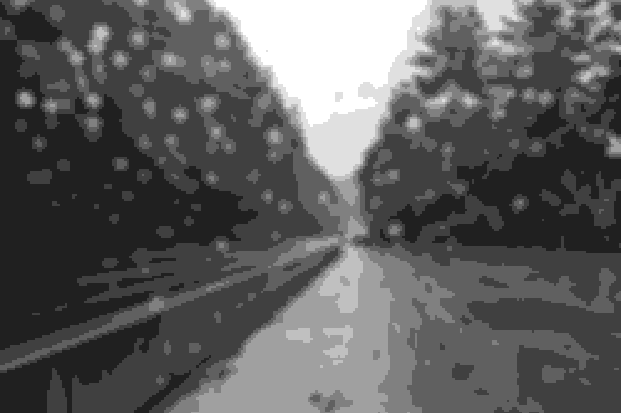
Horseshoe Bay Ferry terminal
Disco in the reservation line, 1st on and 1st off
On the upper car deck - I fit !
The crossing is about 1/5 hours, this trip was under mostly clear skies.
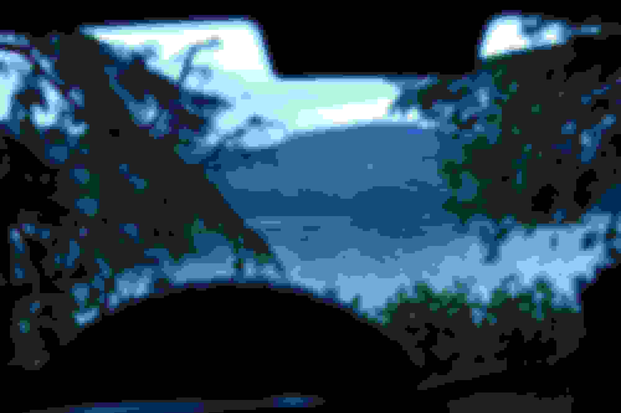
Vancouver island in the distance, this is looking southwest.
And looking northwest - the general direction I am going
So I was pretty happy, as things appeared to be looking up in the weather department.
The view as we are approaching Nanaimo :
Coming up on the last turn
Ferry terminal in the distance
The 1st part of the journey to Campbell river is on the 'new' Island Hwy 19 at 120 Km, the disco cruised along a happily. Around Courtney I heard an odd noise and pulled over to check the shovel, axe, Antenna and tires. No issues found, I noticed there was a good crosswind where I was. Once I cleared that the noise vanished.
After Campbell River the hwy goes to a single lane each way, averaging 100Km. Weather went from dry to heavy rain pretty constantly. There is a reason they call the west coast of BC a temperate rain forest.
The good
The bad/ugly
My last bit of Hwy for the day was at Port Hardy, where I fueled up the Disco was showing 285 Km and just barely at 1/2 tank which is pretty decent fuel usage. In total I covered about 495 Km of hwy.
From Port Hardy I headed to Winter Harbour, about another 72 Km more or less of logging roads. I fired up the VHF radio and tuned the road frequency on both my handheld and primary radio sets. In Canada front tunable radios can not be used most commercial applications. So I use a cheap Baofeng handheld, to call my KM's so the very big logging trucks know I am there.
Not my photo - but it gives you an idea I passed a few these, not much room for me and them. When they are in a KM I find a pullout a hold clear of the road so they can just rumble by. You know a big truck is coming when they call "30 down Winter Harbour loaded". If it is a pickup truck they call "30 down Winter harbour".
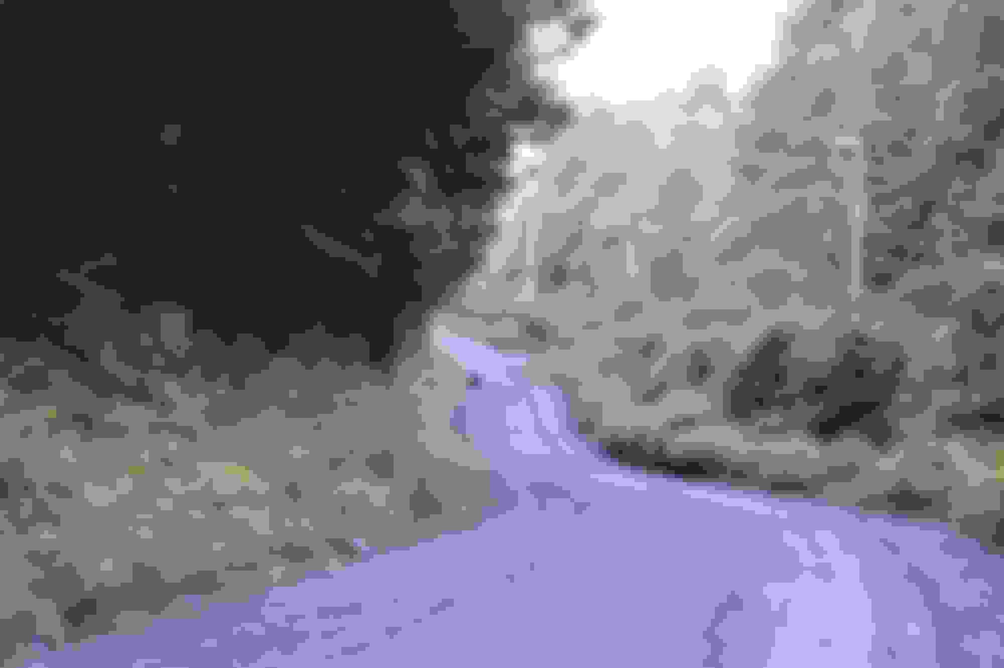
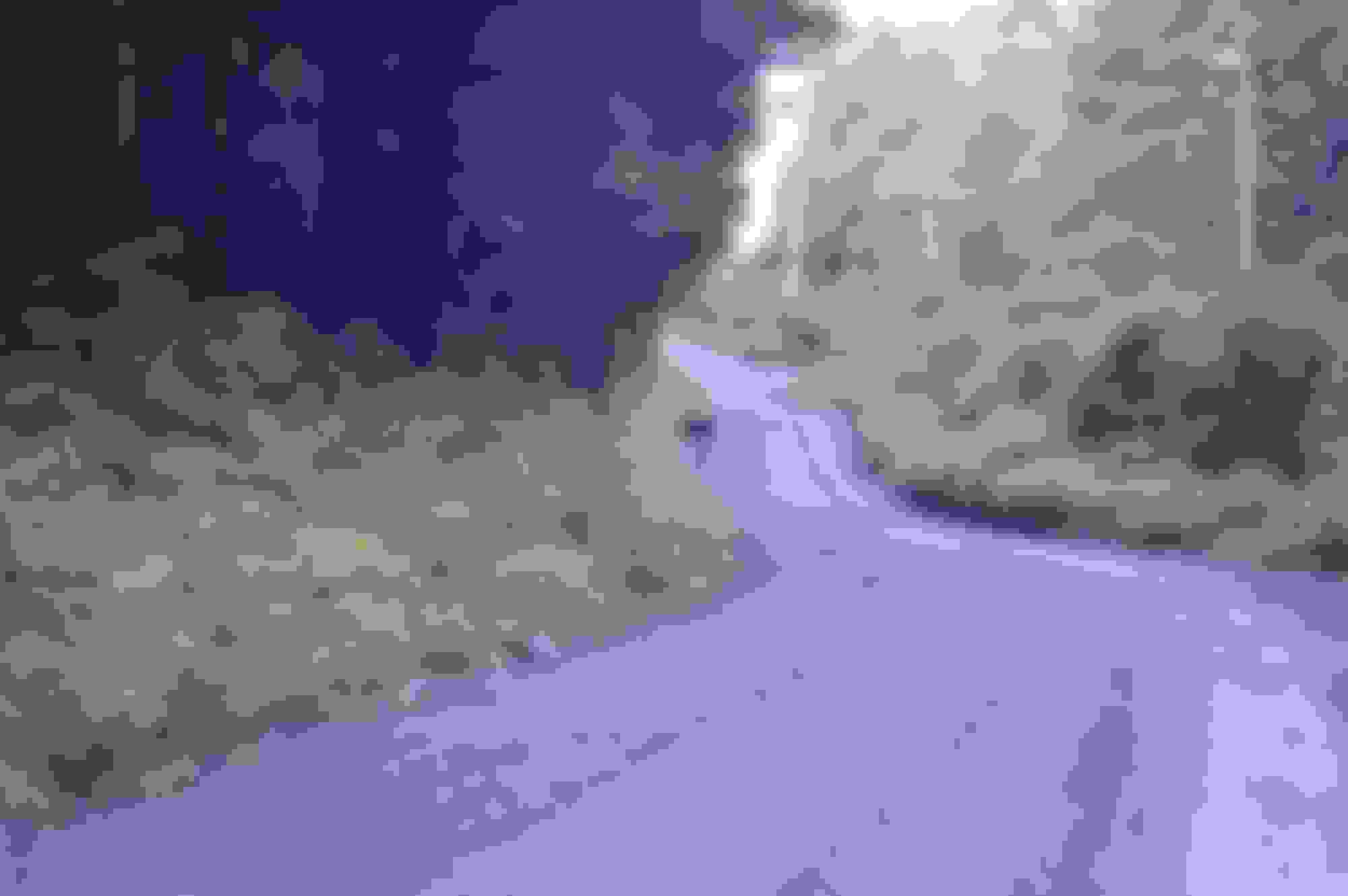
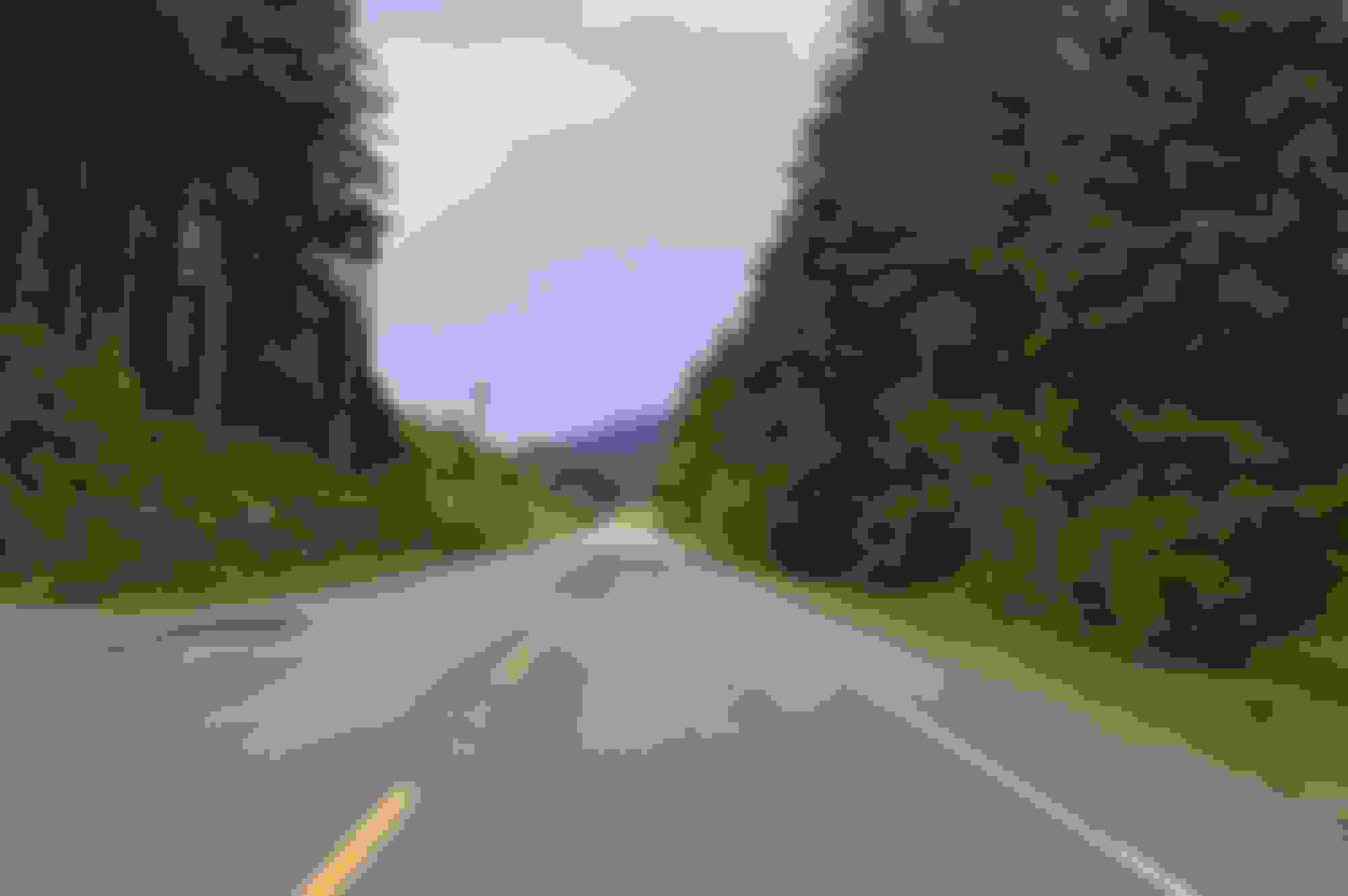
This is the 1st portion of my trip that was fully on FSR's other than about 2 minutes in Holberg. The trip west to Holberg was largely uneventful, as logging for the day was largely complete.
Holberg was at one time a part of the DEW early warning system, but has long been decommissioned. You can read more about Holberg here Holberg.ca | updated in 2016.
Having decided to go to Winter Harbour where a campsite was available rather than Cape Palmerston where camping turns out to largely hike in. The road is good condition, with only short stretches of potholes.
Holberg city limits
Provincial Hwy sign equivalent of a state hwy. They used get people running up this area without any vehicle insurance or on vehicles that could not travel pavement legally. As it a very active logging area they have added a lot of signage to prevent accidents as result of those vehicles being on the road and to protect the logging crews from uninsured vehicles.
One nice thing is the logging companies keep up the road signage really well.
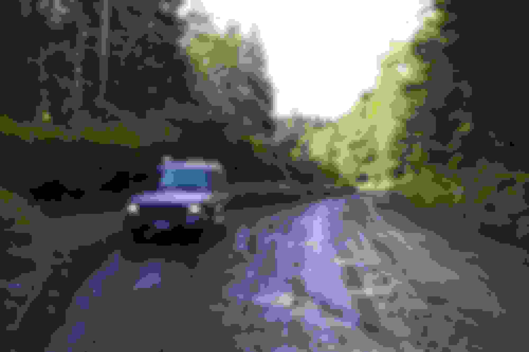
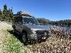
Made the a old guy going down a bumpy road stop and took a picture of the Disco in it's "natural" enviroment. As you can tell the weather gods were giving me a break.
On the way to Winter Harbour
Looking up the road I saw this fellow, he did not seem very concerned and ambled down the road towards me. And as usual I grabbed my camera, ignoring both the 12 gauge and bear spray.
Just after this he figured out I was there and headed into the brush.
Part 2A to come the rain stopped and I need to go check my ABS pump.
Bear left! Great shots so far! I only came across one of those once; while deer hunting w/a bow, at 50yds. Shudda had a sidearm but never expected to see one that close. He was just passing by tho, and it was only a low-grade brown-trouser moment!
Solo blacks are not much of an issue - as long as you do no surprise them up close. It is the mom and cubs who mostly create problems. Cubs being curious and moms very protective.
I saw about 8 black bears including 2 young ones with mom, this trip out.
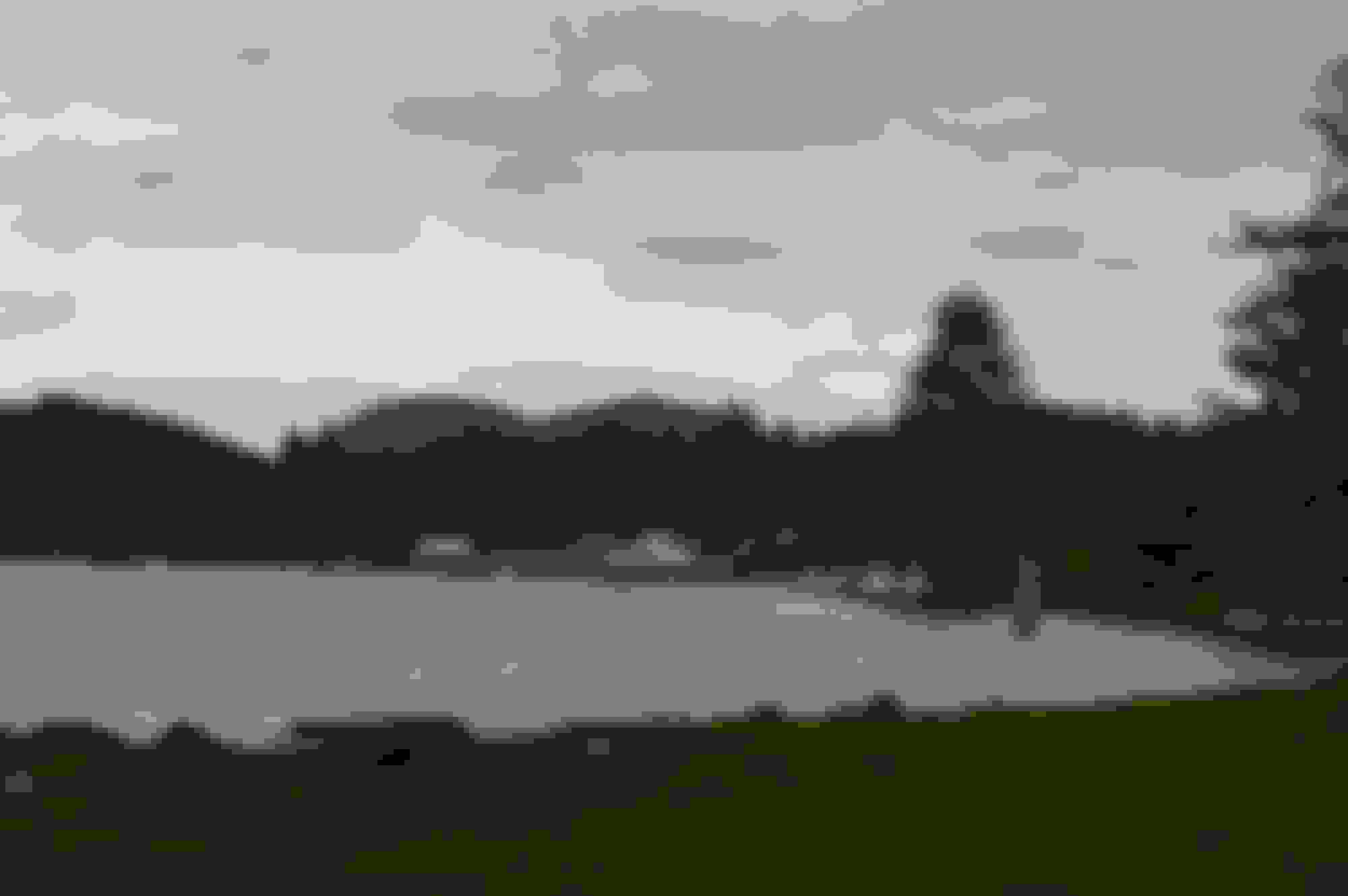
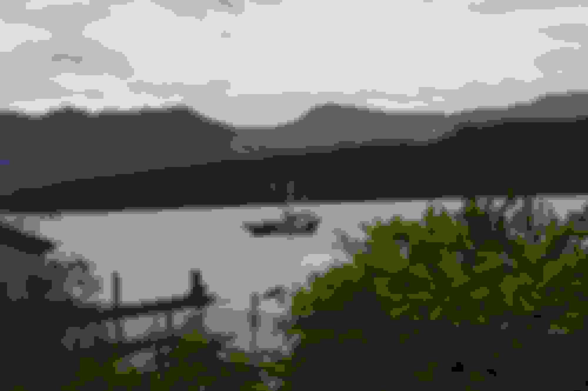
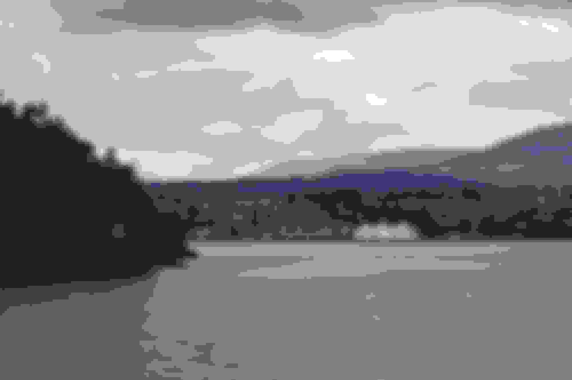
Shortly after seeing the bear I reached Winter Harbour. This is a very small fishing village, maybe a couple of dozen houses and about the same number of rental cottages for sports fisherman. It sits on a little inlet off the Pacific ocean,
That google image shows a lot more buildings and open space than I saw, but there are you are.
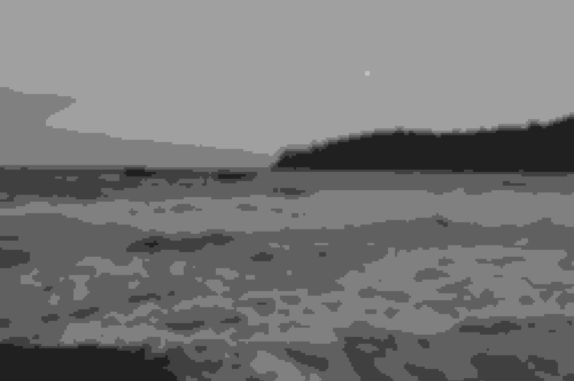
Winter harbour - from campsite
Arriving at Winter harbour
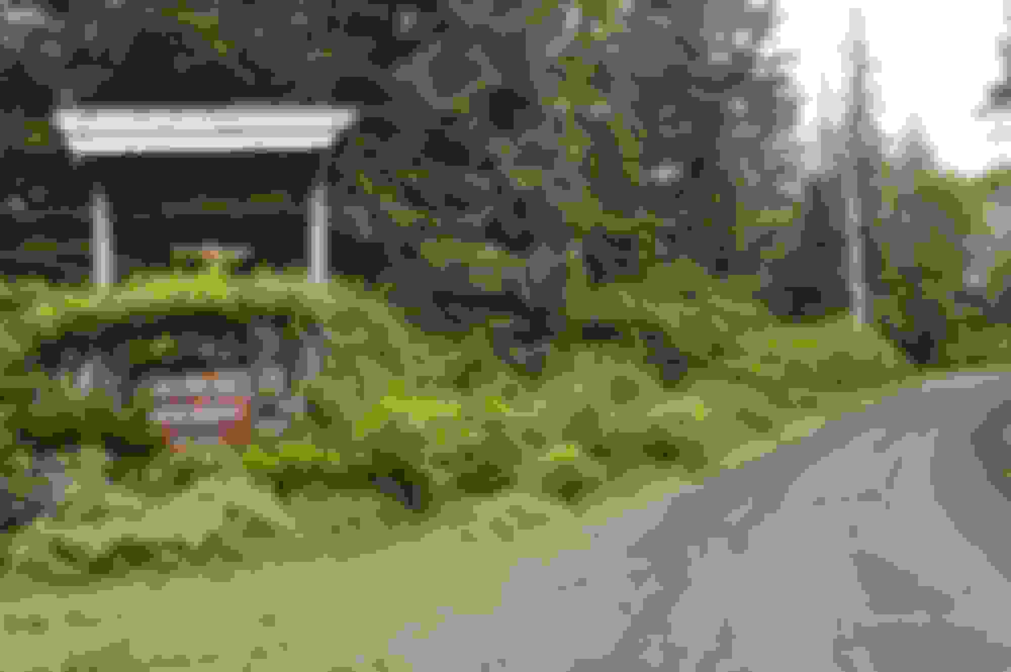
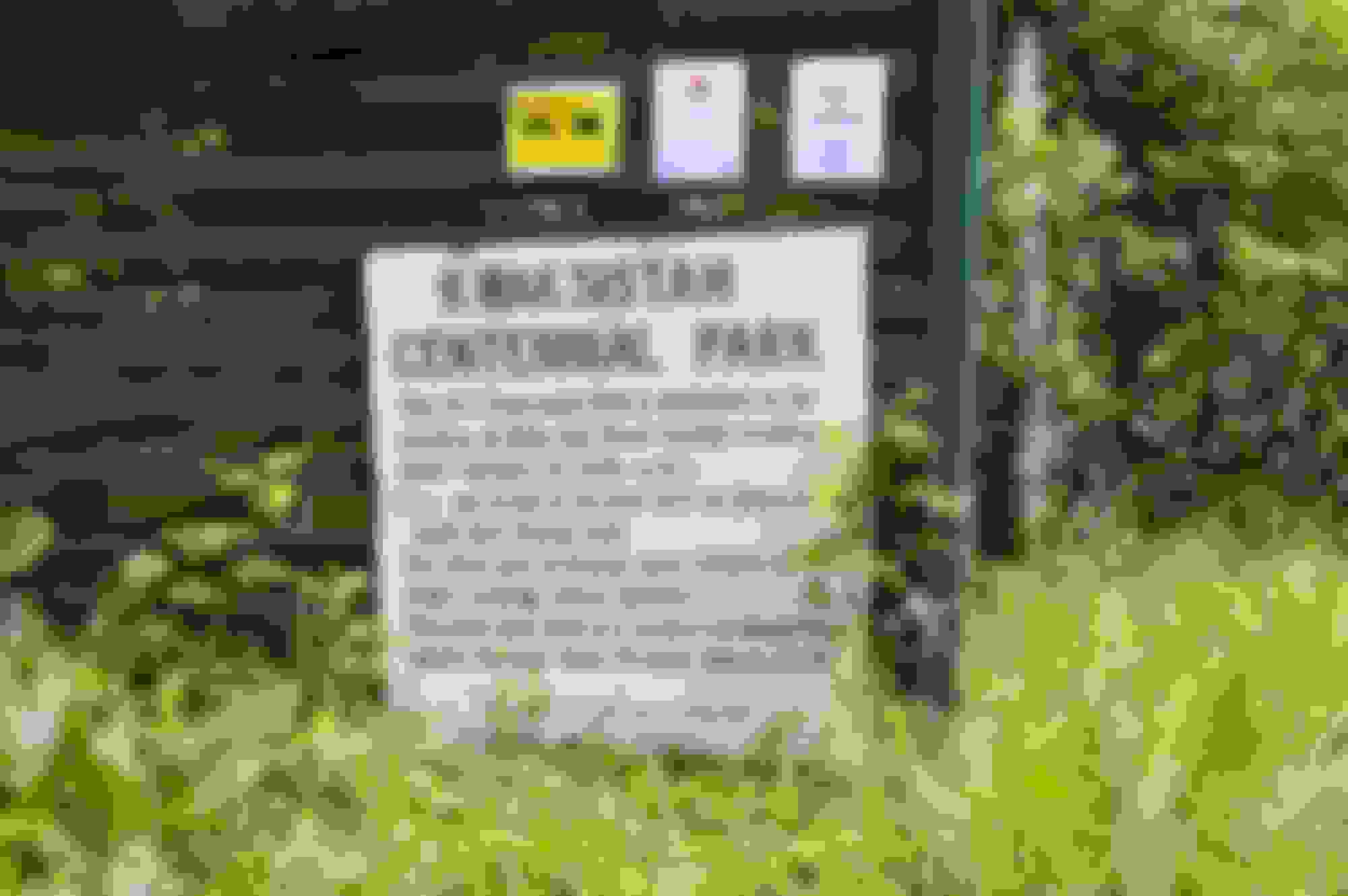
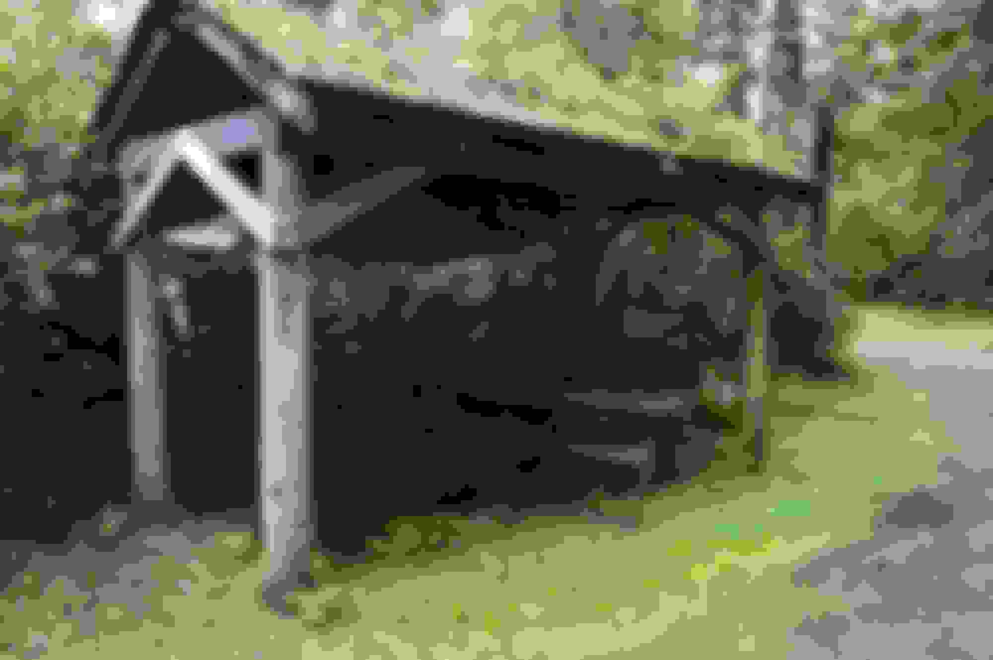
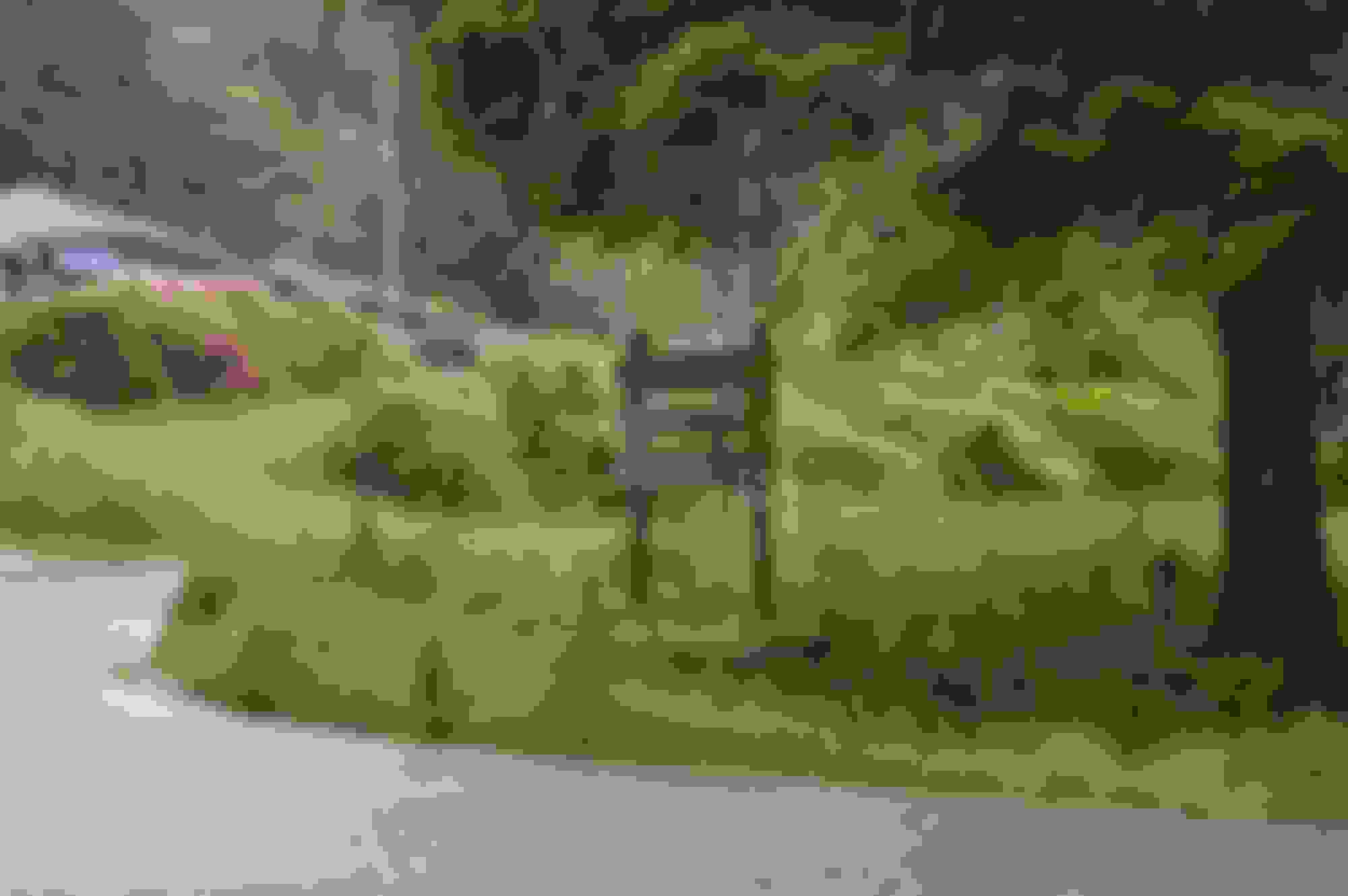
The park entrance
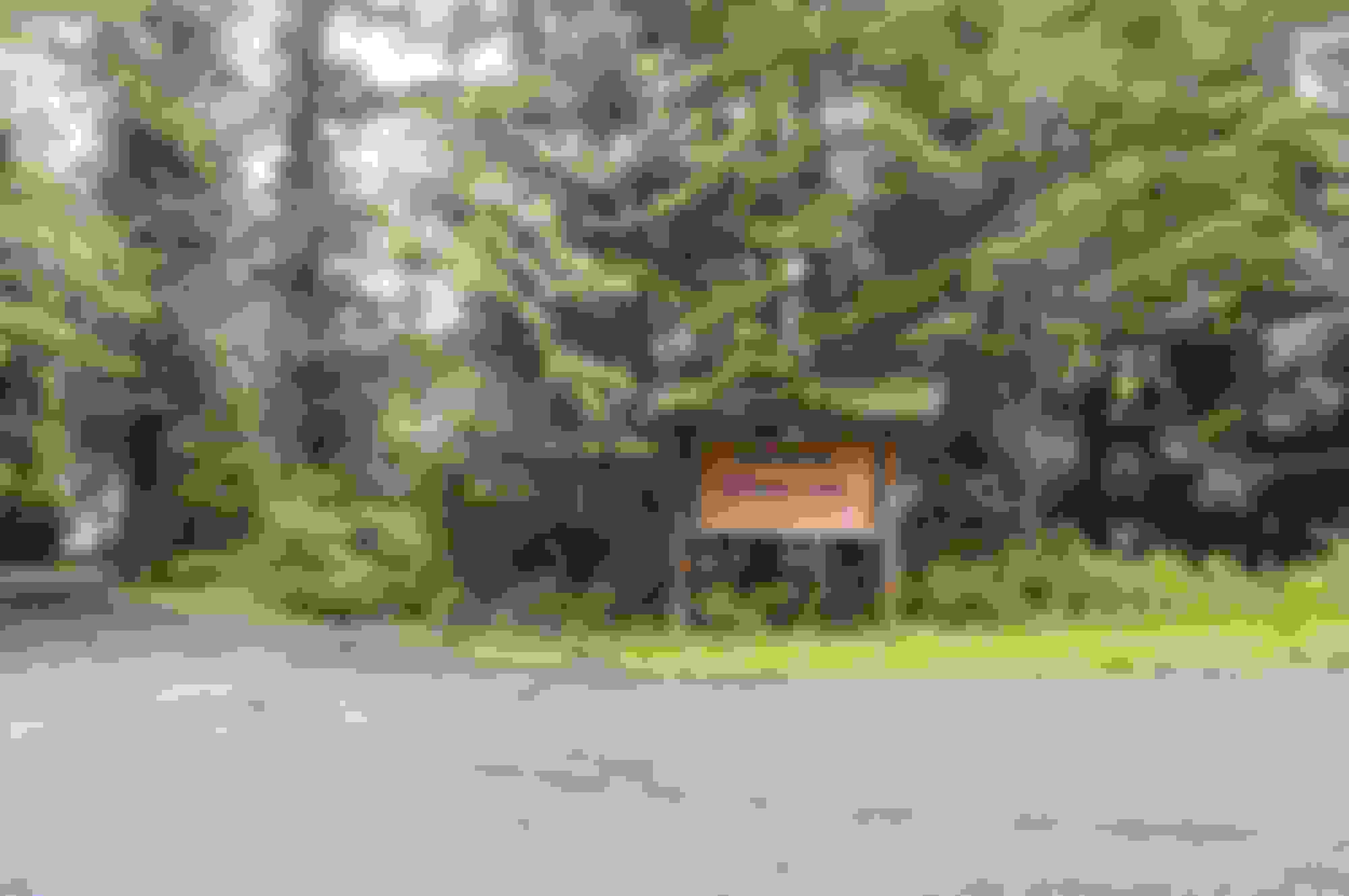
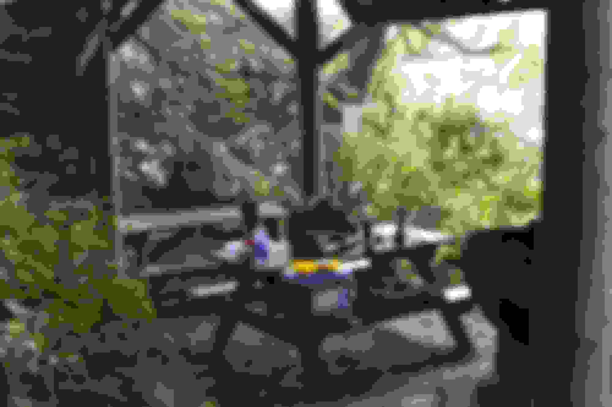
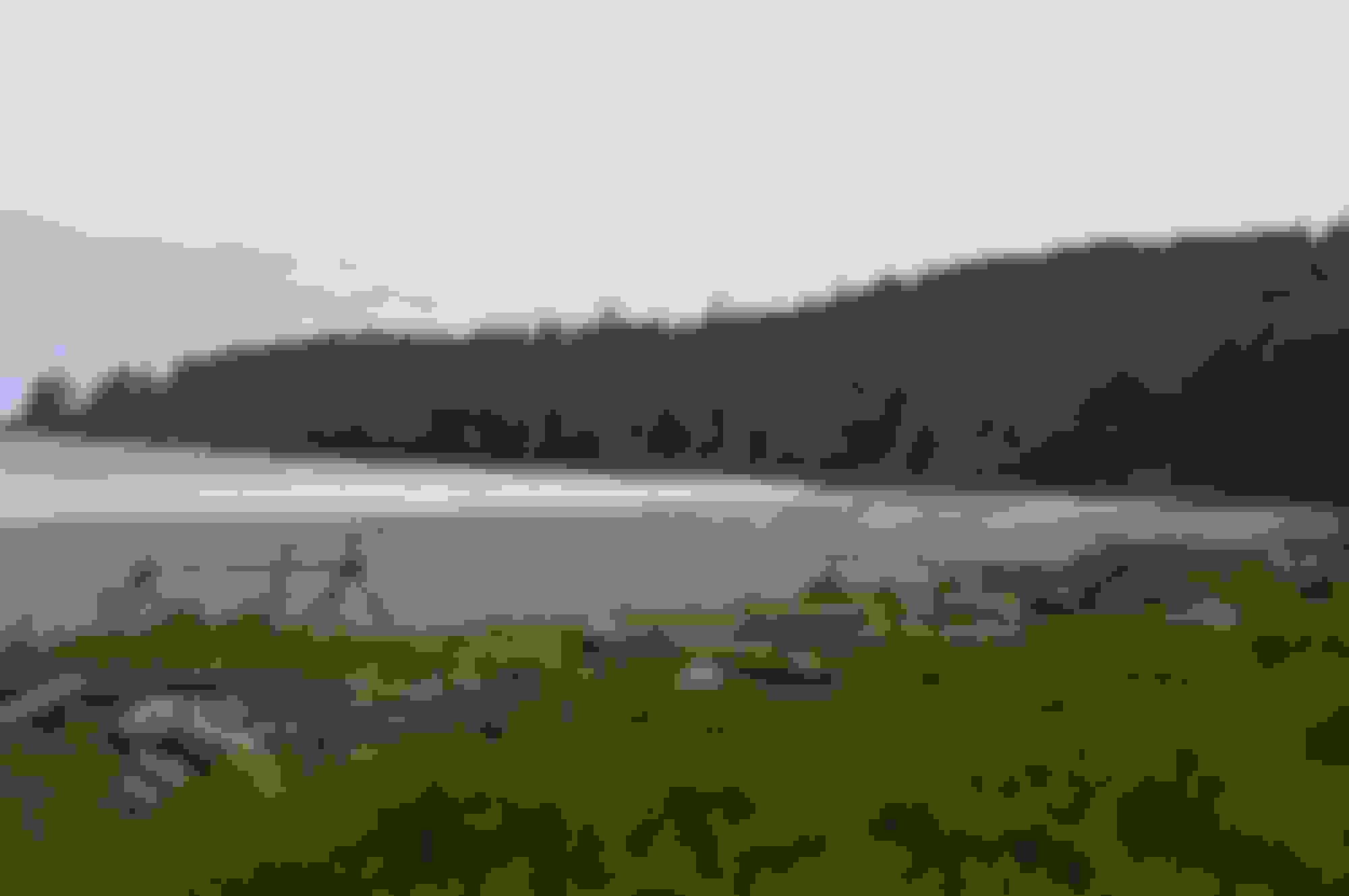
The park is not well maintained, but it is very clean and quiet. There are spots for maybe 8 vehicles in close proximity. The picnic tables are mostly mossy as are the 2 sheltered area's roofs. But you are right on the beach and at least when I was there was no noise other than a fishing boat loading 45 gal drums in the morning.
It is about a 5 minute drive into the actual community, there is a store but the hours are basically early after noon only.
Weird, you say originally...that this is no place for witches...but there is a witches cauldron...lol.
Great pictures, always interesting to learn something about a distant place. Thank you, for sharing. Also, your pictures are getting me geeked about my next outing, in a few weeks.
Day 2 dawned drizzly but warm, my plan was to head up to Grant's Cove then to Palmerston's Cove, followed by traveling Coal Harbour from Holburg.
The drive to Grant Bay was uneventful other than a brief stop to try and get a shot of a Hughes 500 helo pulling shake blocks out of a cut area. No joy on the photo as he was headed out as I stopped, but they have a very distinct sound.
I last heard a 500 when I was a Cpl in reserve recon unit, acting as enemy force for an Air Cav unit in Fort Lewis, Washington. The sound is what drew my attention.
For those who do not know shake blocks are used to make Cedar shakes or as they are better known cedar roof shingles.
At Grant Bay there is a short hike, 5 -10 minutes to the beach from the very small parking area. People do hike in and camp there. It was quite windy and overcast at the beach but the rain held off.
Grant Bay parking - it is a pretty decent FSR to here
WFP stands for Western Forest Products - they do the trail up keep .
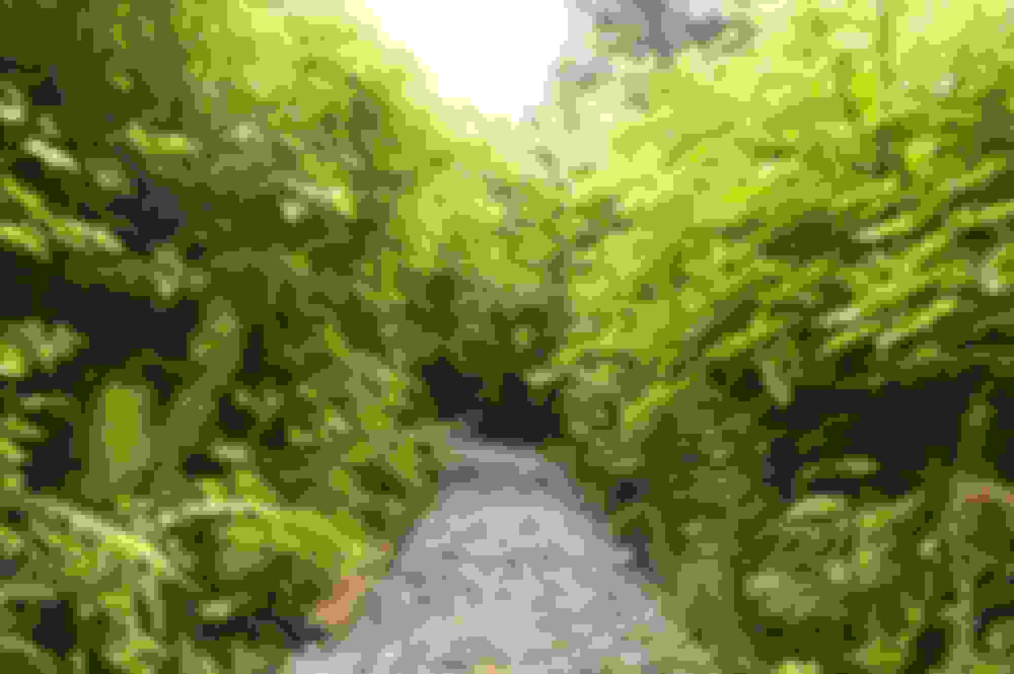
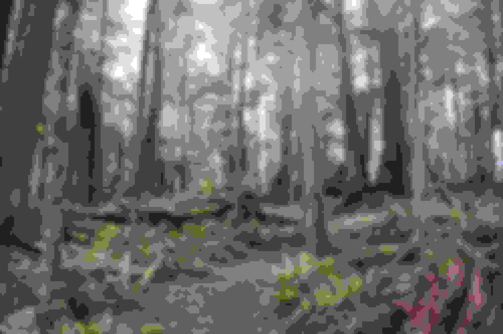
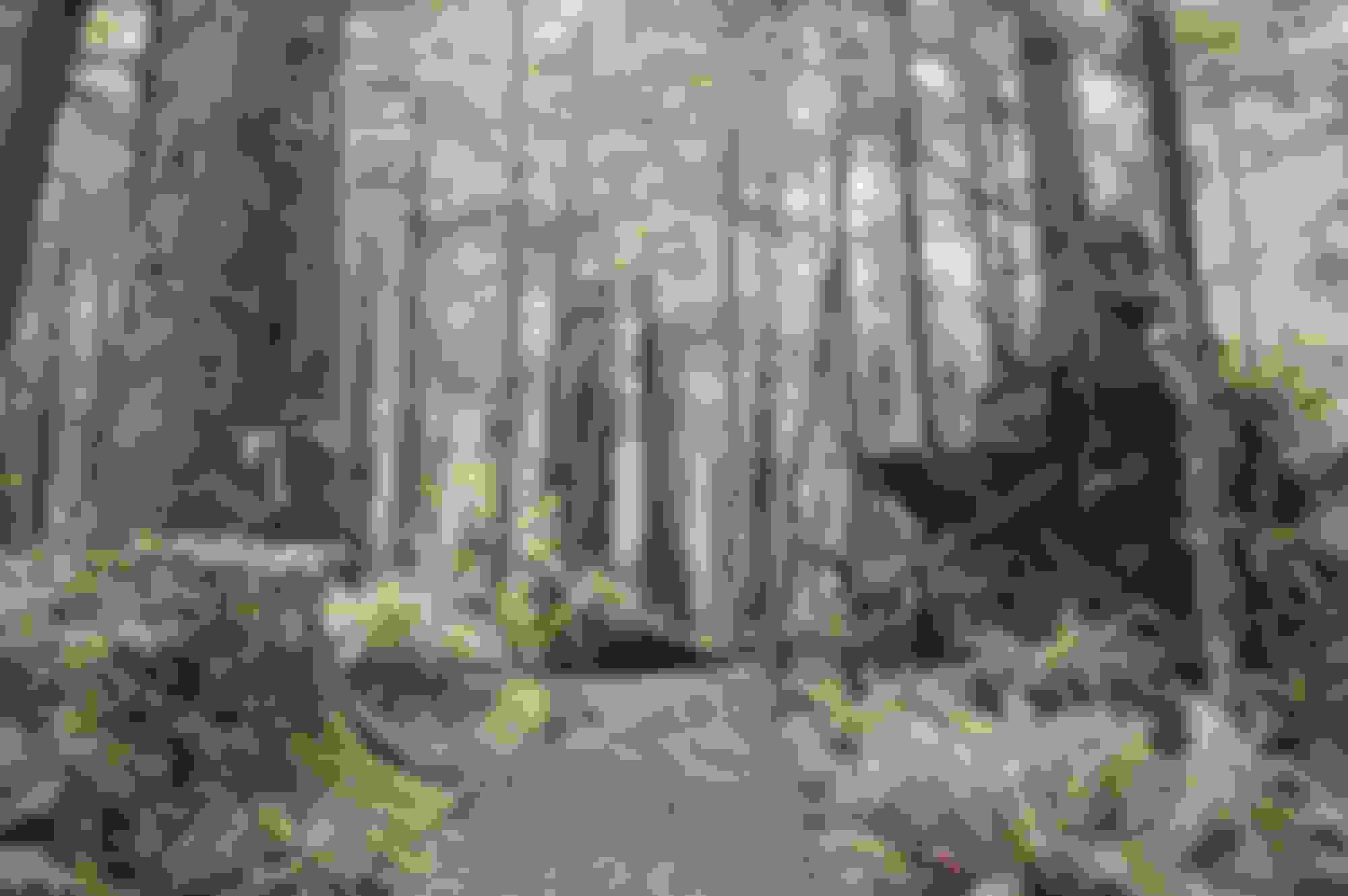
The start of the trail and the trail it self, shows why the Pacific Northwest is called a temperate rain forest.
Trail head
Trail head
Entering the actual forest section
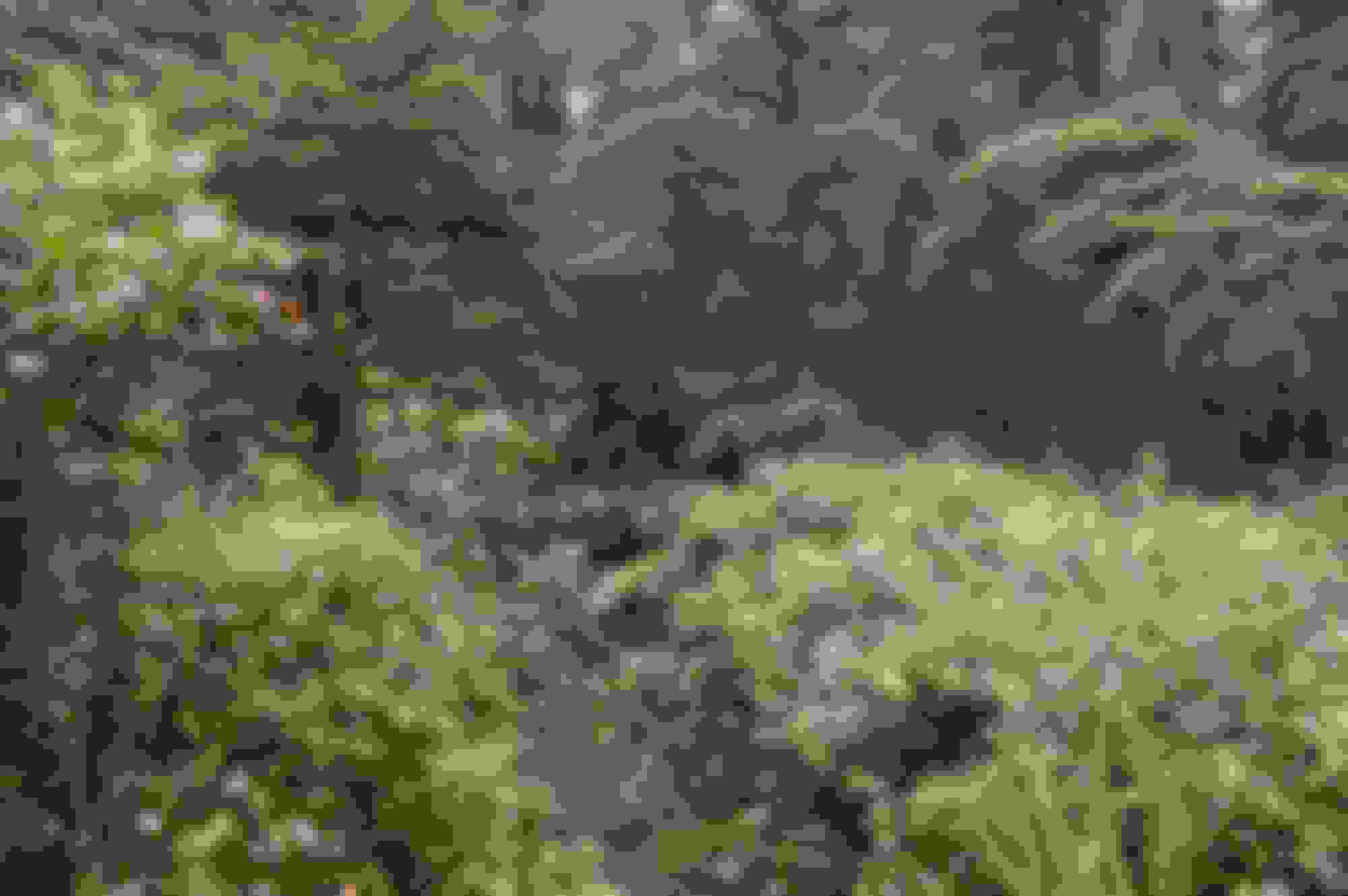
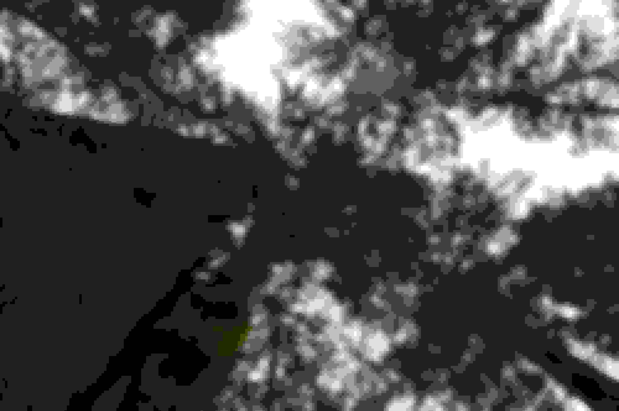
Some random shots of the forested part of the trail
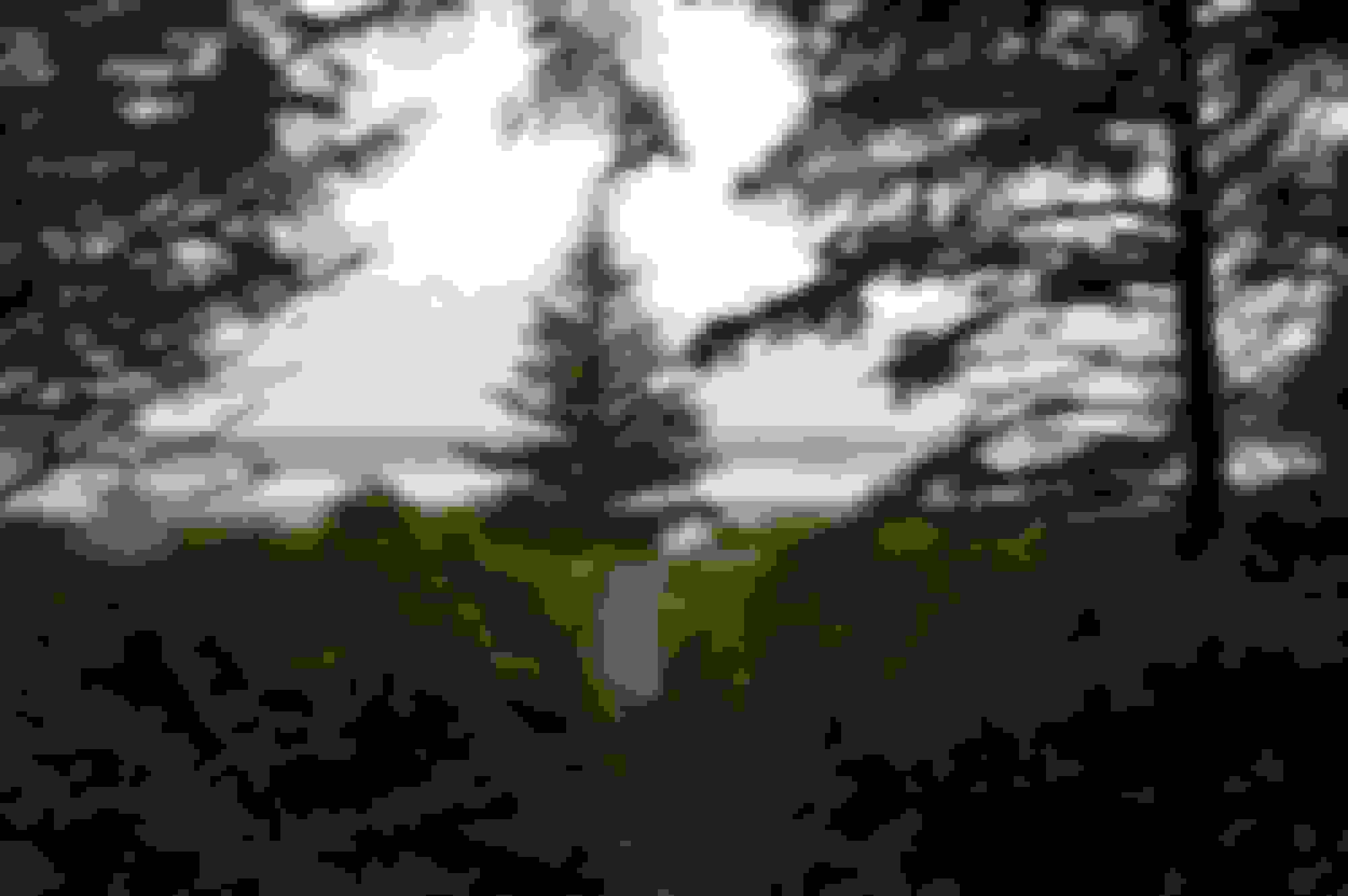
And the 1st sight of the beach and Pacific Ocean, with Asia somewhere to the west beyond the waves.
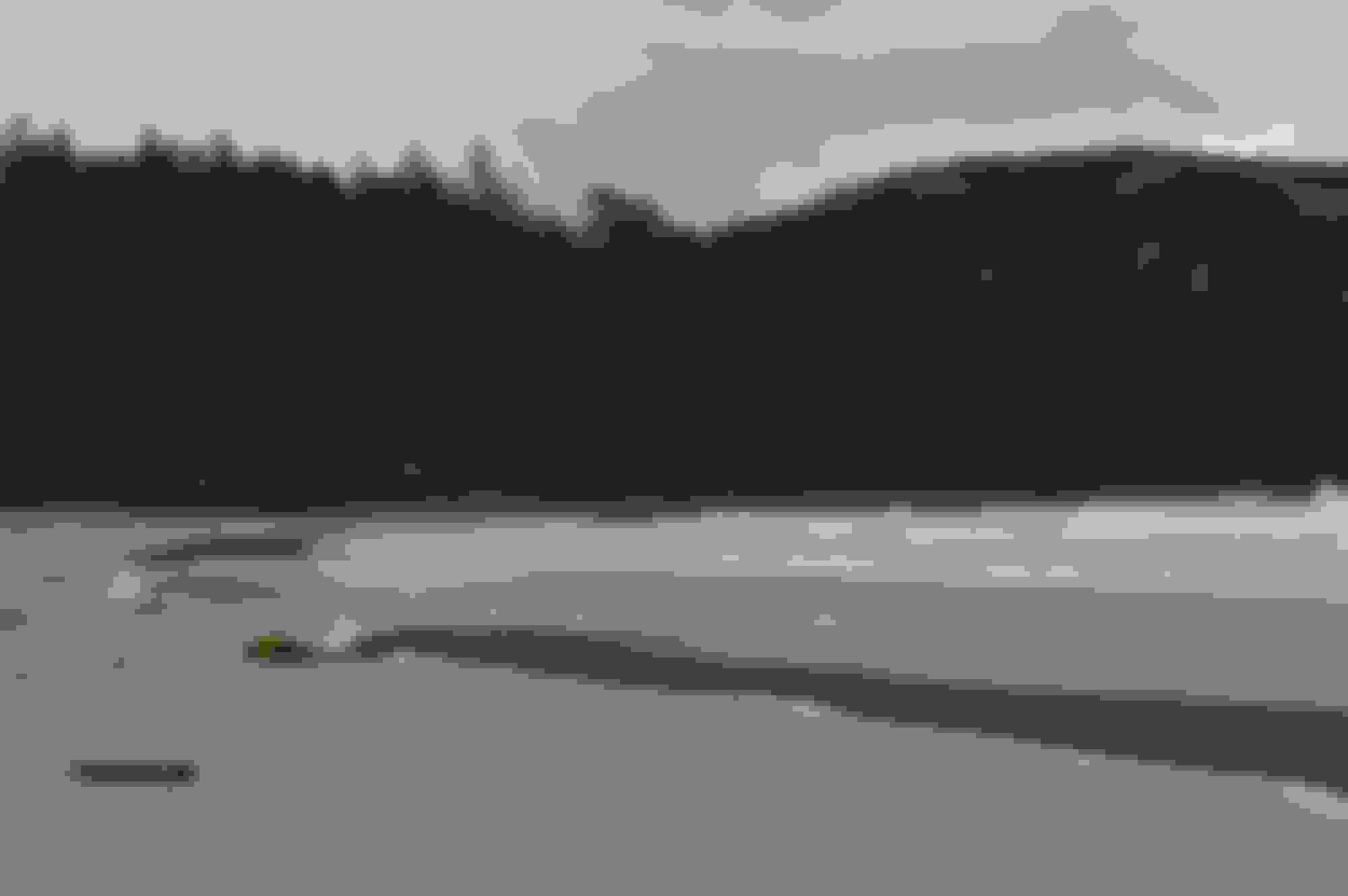
And some beach shots
Sea anemones - they are more impressive with more water


 equivalent of a state hwy. They used get people running up this area without any vehicle insurance or on vehicles that could not travel pavement legally. As it a very active logging area they have added a lot of signage to prevent accidents as result of those vehicles being on the road and to protect the logging crews from uninsured vehicles.